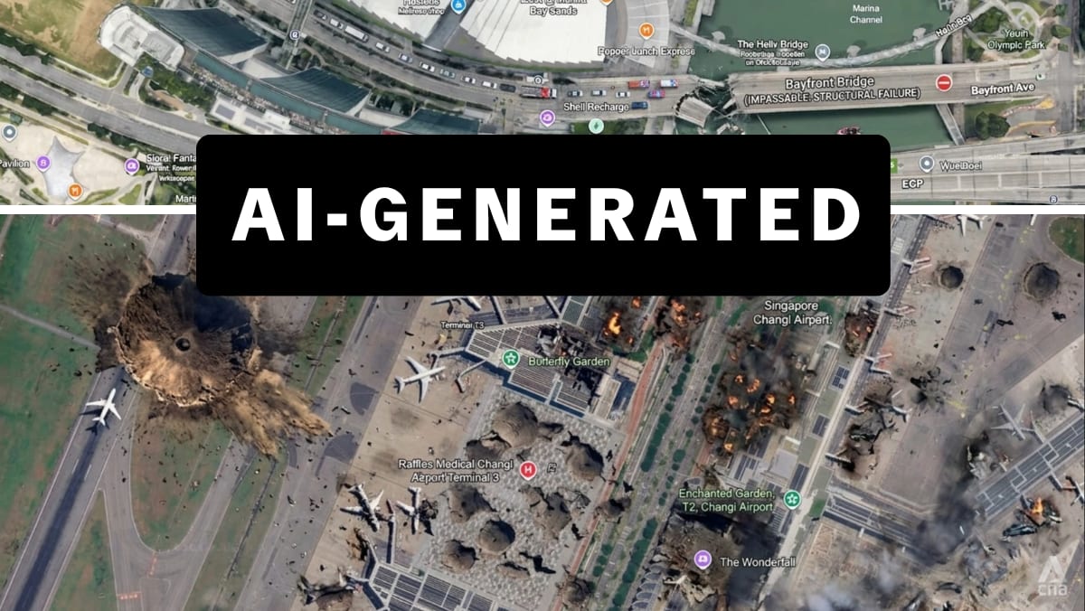
WHY AI-GENERATED MAP IMAGERY MATTERS
For two decades, Google Earth has been viewed as a standard reference for verifying what a location looks like. It has also been a reliable tool used by investigators worldwide, such as in conflict reporting in Ukraine and in the Middle East.
In recent times, Google Earth imagery has also been the subject of AI manipulation, with significant consequences. In February, an Iranian state-run news outlet posted a “before-and-after” Google Earth satellite image claiming an Iranian drone strike had destroyed US radar equipment at a Qatar base. But this was eventually proven to be an AI-manipulated version of a Google Earth image of a US base in Bahrain. By then, the image had drawn millions of views and spread across social media globally.
It was the use of genuine Google Earth imagery which gave the fake image more credibility – and experts noted that if an AI-generation tool were to be baked into the Google Earth interface natively, such attempts at disinformation would no longer require as much effort.
Apart from van Ess, whose views have been widely echoed online, others called the move “irresponsible” and potentially causing “catastrophic damage to the credibility of satellite imagery”.
Read Full Article At Source