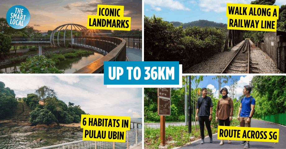
Long-distance hiking trails in SG
Training for your next marathon or gearing up for an overseas hiking adventure? You don’t have to travel far to put your stamina to the test. There are plenty of long-distance hiking trails in SG that take you through lush forests, scenic coastlines, and winding nature paths, all while giving your legs a proper workout.
From the 36km Coast-to-Coast Trail to the greenery-filled Rail Corridor, these routes are great for building endurance and getting used to different terrains. So, lace up your hiking shoes and pack your water bottle – we’ve rounded up some long-distance trails, sorted by region, to help you prepare for that Mount Kinabalu hike.
Central
1. MacRitchie Nature Trail, Sime Track & Chempaerai Trail Loop
12.7km of a rainforest hike
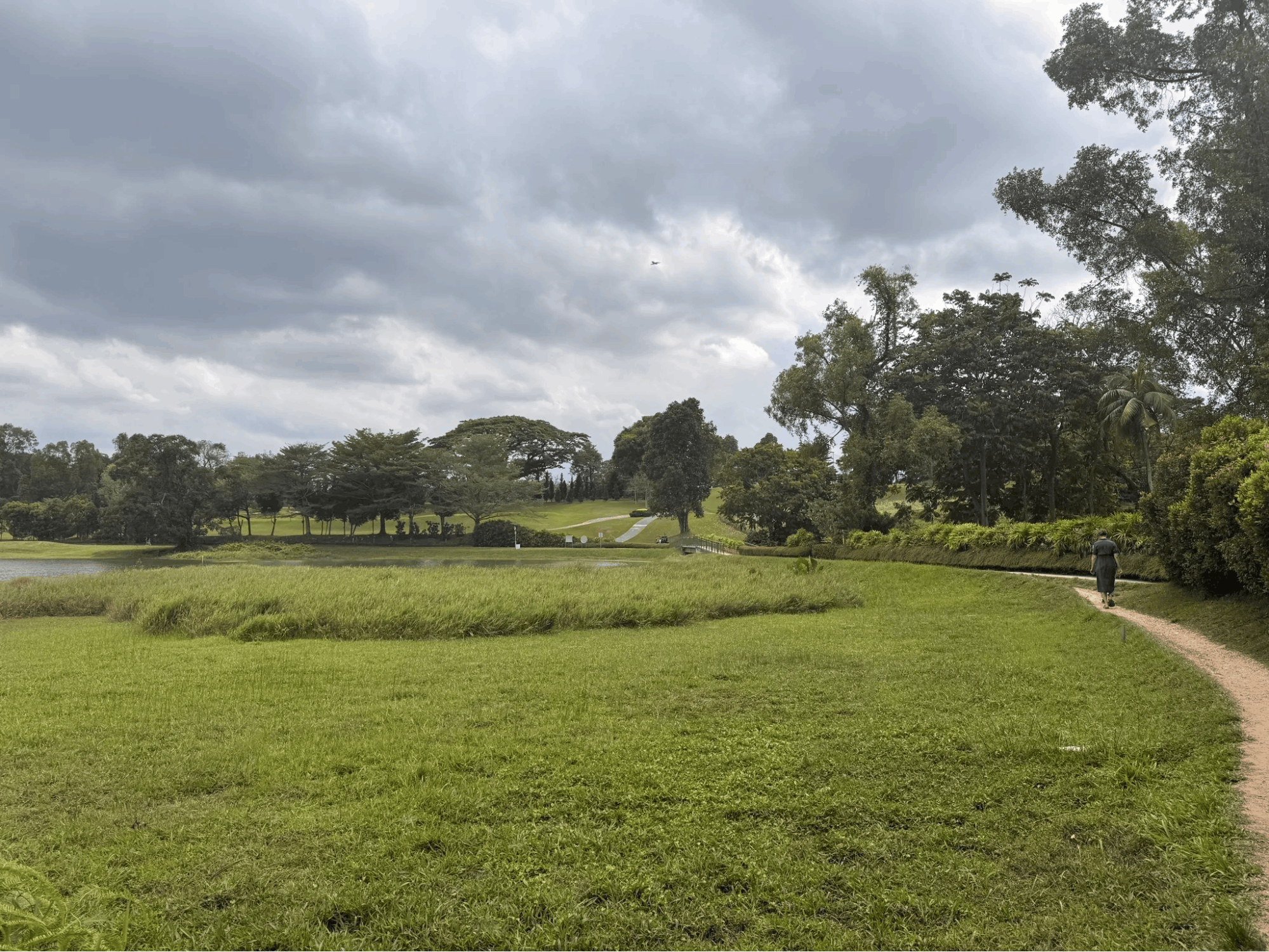
Image credit: Tommy Lee via AllTrails
If you prefer being surrounded by greenery instead of skyscrapers, the MacRitchie Nature Trail, Sime Track, and Chempaerai Trail Loop might be right up your alley. Located within MacRitchie Reservoir Park, this 12.7km route takes you through one of Singapore’s oldest rainforest areas.
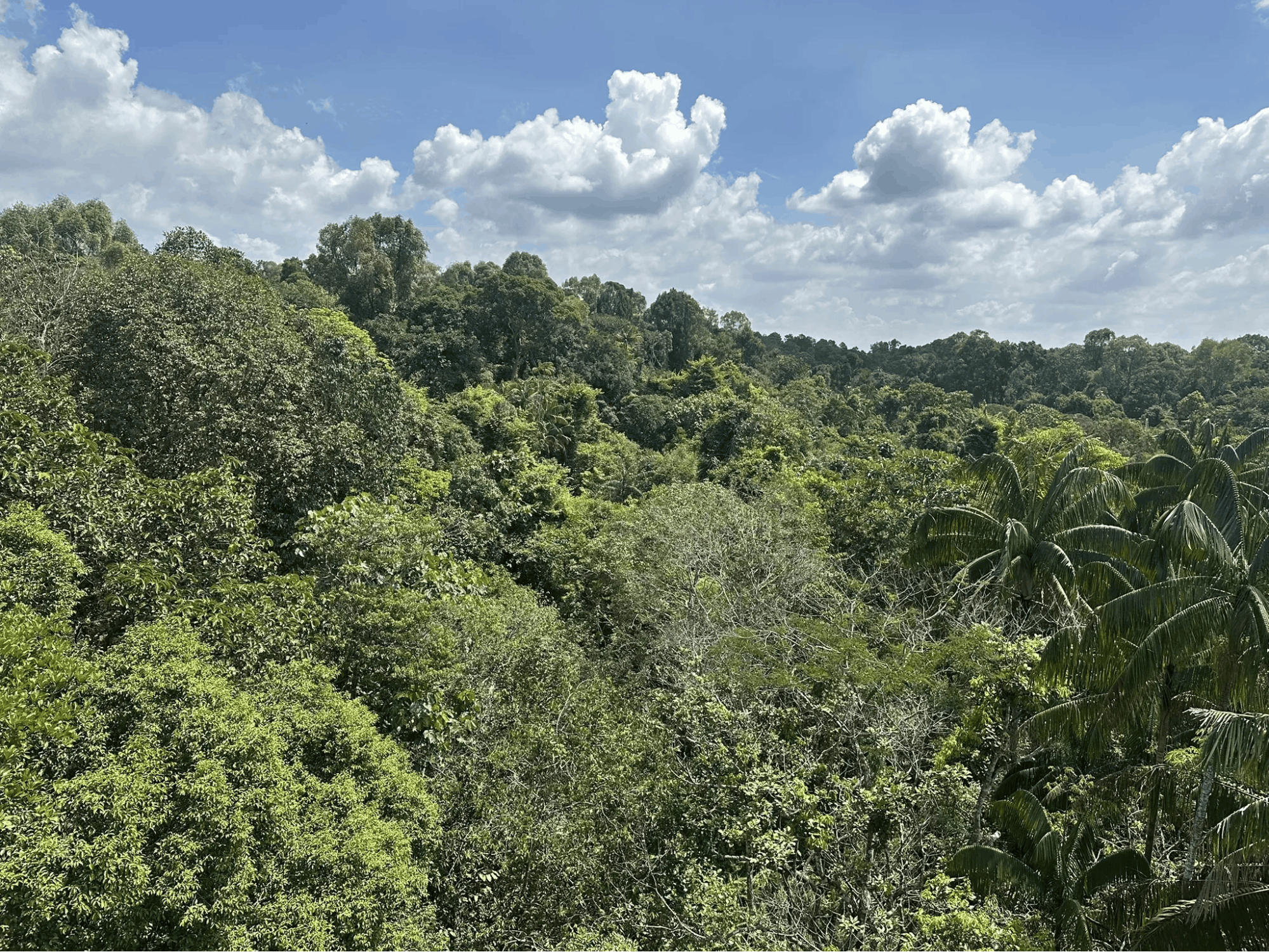
Image credit: Paul V via AllTrails
You’ll encounter a combination of wooden boardwalks overlooking the reservoir and earthy trails that wind through dense vegetation. Towering trees, ferns, and forest canopies provide plenty of greenery to admire as you make your way through the reserve.
Keep your eyes peeled for wildlife too. Long-tailed macaques, turtles, monkeys, squirrels, monitor lizards, and colourful kingfishers are among the creatures you might spot along the way. If you’re lucky, you might even catch a glimpse of the greater racket-tailed drongo, a bird known for its distinctive tail feathers.
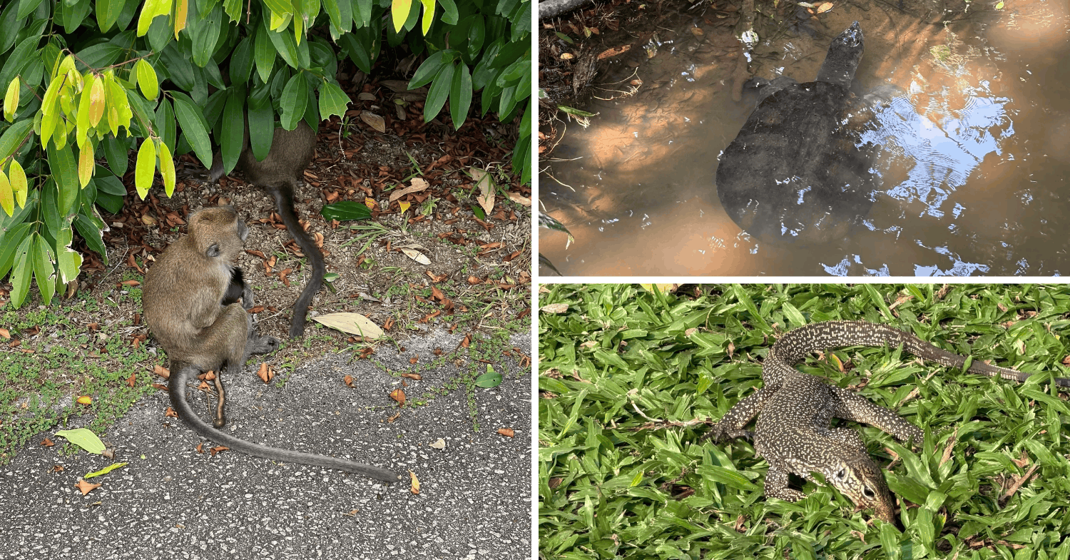 Image adapted from: Austin Jennings, Edouard Clouet des Pesruches & Kayatoast User via AllTrails
Although the trails are generally well-maintained, the uneven forest paths and Singapore’s infamous humidity can make the journey more challenging, so come prepared. It’s also a good option for hikers looking to improve their endurance while getting accustomed to natural terrain.
How to get there: Take the MRT to Caldecott MRT Station and walk approximately 15-20 minutes towards MacRitchie Reservoir Park via Lornie Road. Alternatively, take bus 157. You can also access the trails near the Singapore Island Country Club entrance.
Check out the MacRitchie Nature Trail, Sime Track, and Chempaerai Trail Loop.
2. MacRitchie to Bukit Panjang
12.4km hike through forest trails & nature parks
For another nature-filled adventure, try the MacRitchie to Bukit Panjang trail. Spanning 12.4km, this route starts at MacRitchie Reservoir before taking you through forested paths, park connectors, and quieter stretches of Singapore’s central greenery.
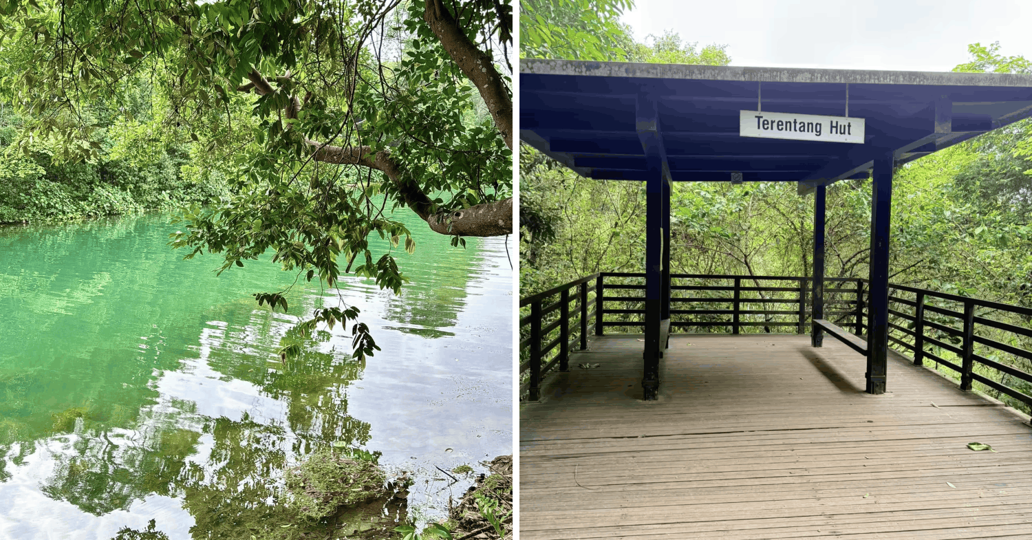 Image adapted from: Kevin CT See via Facebook, Trip.com
The journey begins among dense secondary rainforest before connecting to the Central Catchment Park Connector network. Along the way, you’ll pass landmarks such as Terentang Hut before making your way towards the Bukit Timah area.
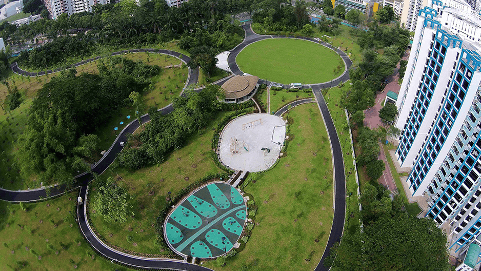
Zhenghua Nature Park.
Image credit: NParks
Eventually, the trail leads towards Zhenghua Nature Park, a peaceful green space that’s also a popular spot for birdwatching. It’s a nice change of scenery after navigating the more demanding forest sections earlier in the hike.
With a combination of dirt tracks, paved pathways, and longer walking stretches, this route offers a decent workout for those preparing for overseas hikes. Plus, you’ll get to explore several green spaces in a single outing.
How to get there: Alight at Caldecott MRT Station, take Exit A, and walk approximately 10-15 minutes towards MacRitchie Reservoir Park. Alternatively, take buses 52, 74, 130, 132, 157, 165, 166, 167, 852, or 855 to a nearby bus stop along Thomson Road or Lornie Road.
Check out the MacRitchie to Bukit Panjang Trail.
3. Coast-to-Coast Trail (Central)
36km route across Singapore
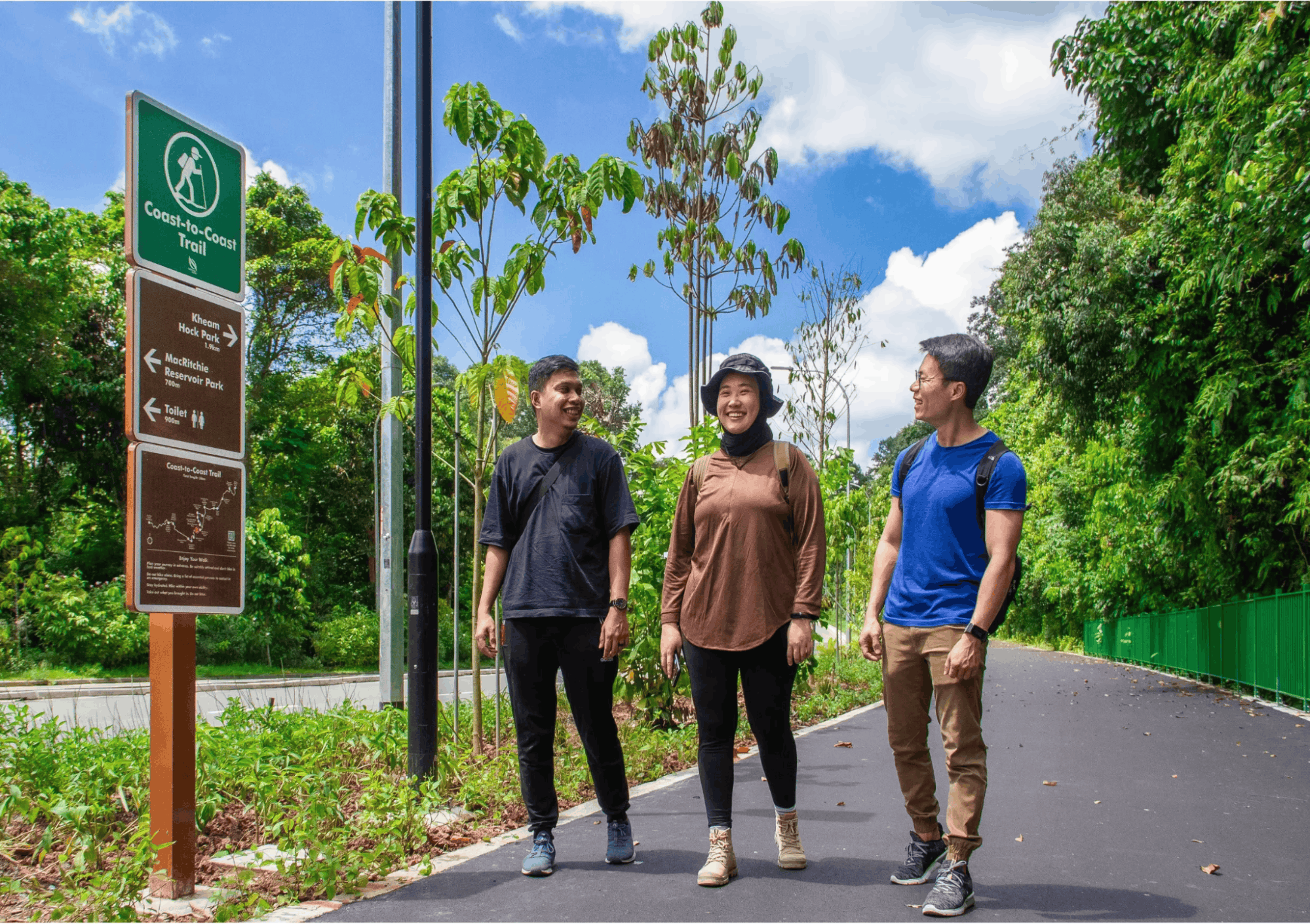
Image credit: Park Connector Network
If a regular weekend stroll no longer cuts it, challenge yourself to the Coast-to-Coast Trail (Central). Stretching an impressive 36km, this cross-island route connects Jurong Lake Gardens in the west to Coney Island Park in the northeast.
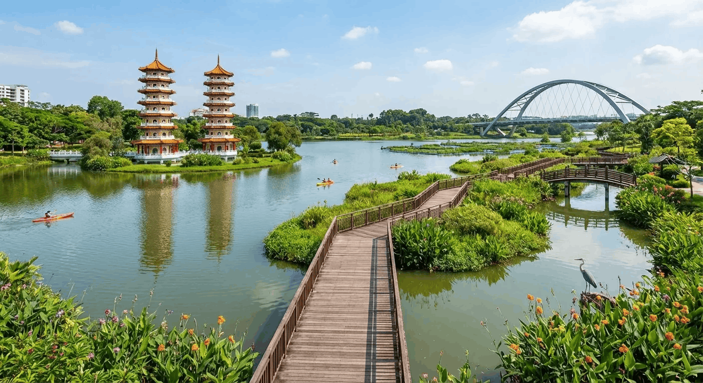
Image credit: Jurong Lake Gardens
The trail takes you through a variety of landscapes, from bustling residential estates to peaceful parks and nature reserves. Some highlights include Bukit Batok Nature Park, Bishan-Ang Mo Kio Park, Sengkang Floating Wetland, and Punggol Waterway Park.
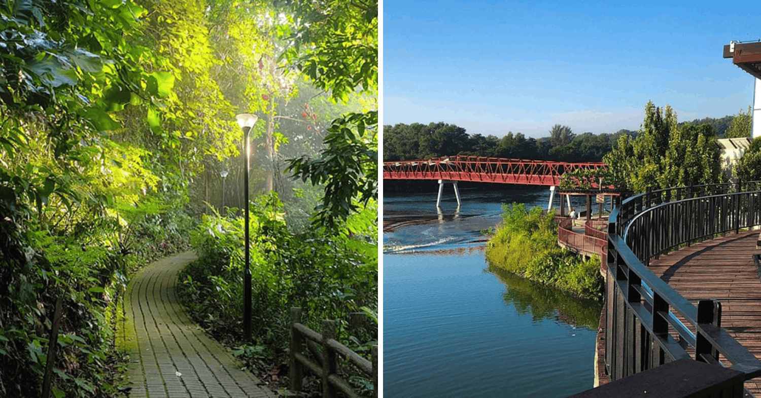
Image adapted from: NParks & Tripadvisor
One of the best things about this route is that you won’t be staring at the same scenery for hours. Expect a mix of forested trails, park connectors, waterfront paths, and urban stretches, with several checkpoints where you can stop for a breather.
Completing the entire route is no small feat, so this may be more suitable for experienced walkers and marathon trainees who want to work on their pacing, stamina, and ability to stay on their feet for extended periods.
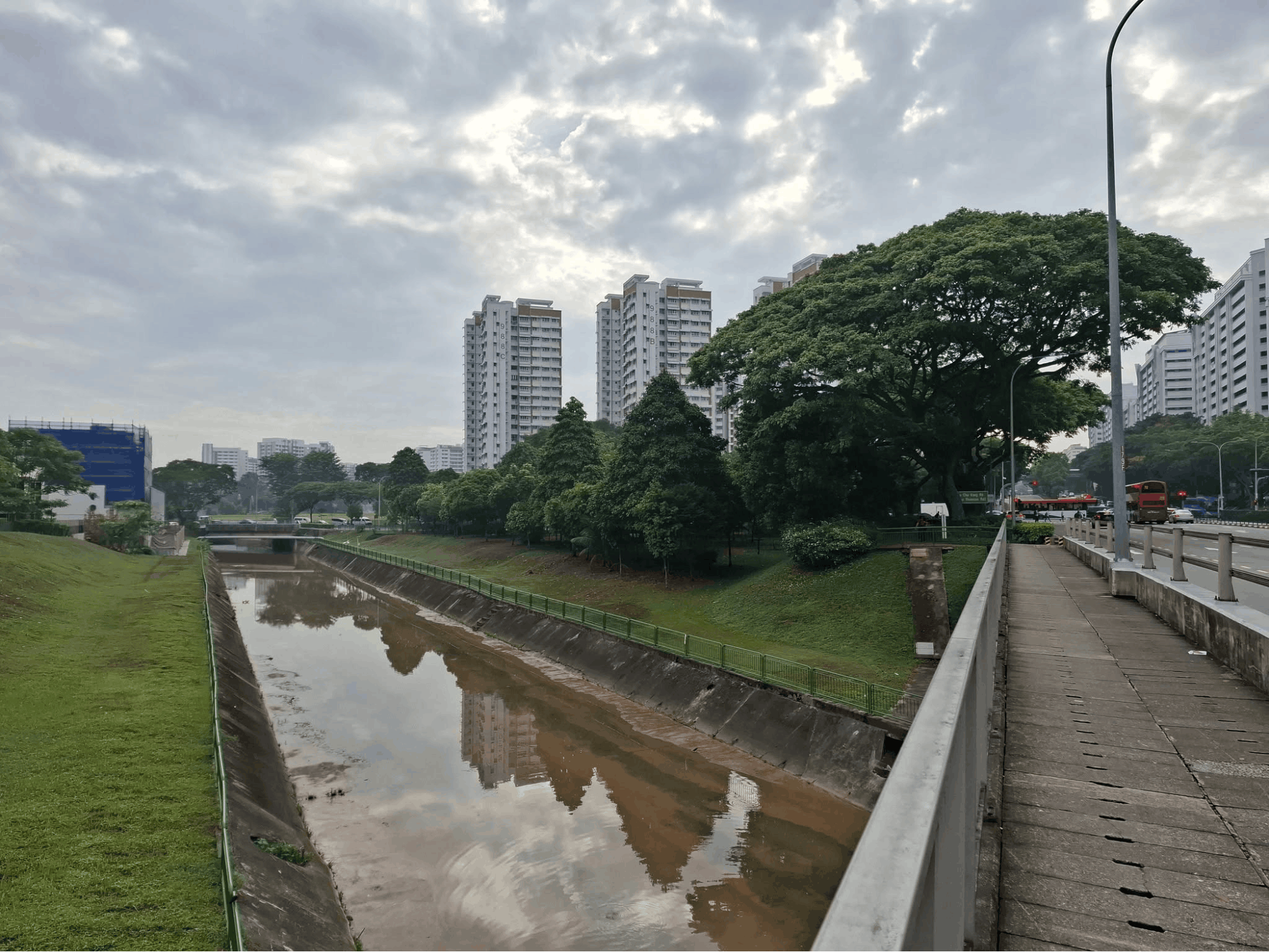
Image credit: John Poh via Facebook
You don’t have to tackle the whole thing in one go, either. Start with a shorter section and gradually increase your distance as your fitness improves.
How to get there: There are several access points along the route. For the central sections, alight at Beauty World MRT Station for the Bukit Timah area, Botanic Gardens MRT Station for Adam Road, or Bishan MRT Station for Bishan-Ang Mo Kio Park. You can also access the northeastern sections via Punggol MRT Station and the surrounding LRT network.
Check out the Coast-to-Coast Trail (Central) route.
East
4. Coastal Park Connector
Watch planes take off while walking 15km along the coast
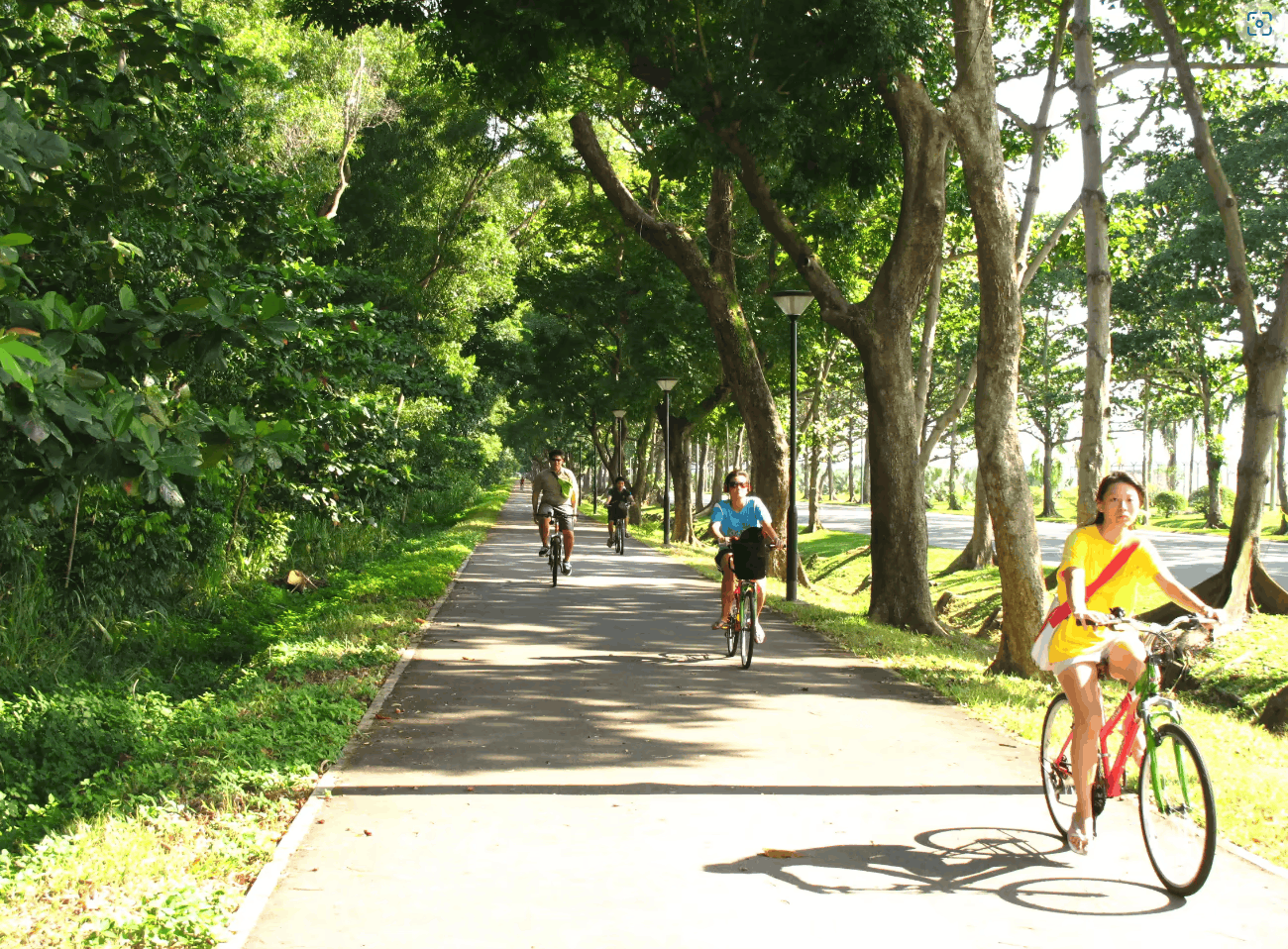
Image credit: Park Connector Network
There’s something oddly satisfying about watching aeroplanes soar overhead, and the Coastal Park Connector lets you do just that while getting your steps in. This 15km route runs from Changi Beach Park Car Park 7 along Aviation Park Road and Tanah Merah Coast Road, before reaching East Coast Park.
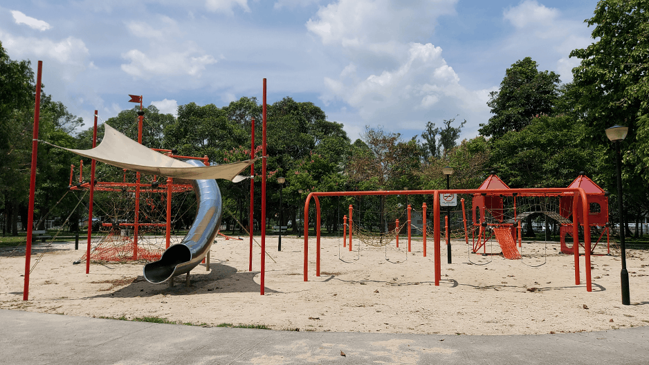
Changi Beach Park.
Image credit: NParks
Unlike the forest trails in central Singapore, this route features mostly smooth, paved paths with sweeping views of the coastline. You’ll also get refreshing sea breezes along the way, which can make a long walk feel a little less exhausting.
A major highlight is the chance to spot aircraft taking off and landing near Changi Airport. Aviation enthusiasts can look out for planes around the airport-facing sections, adding a little entertainment to an otherwise straightforward endurance walk.
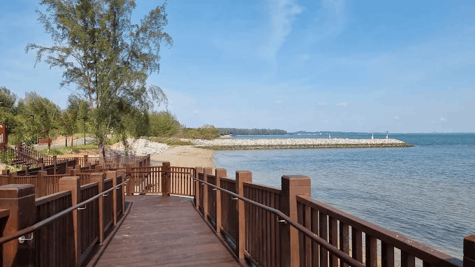
Changi Bay Point.
Image credit: the muk via Google Maps
The connector also tends to be quieter than the busier stretches of East Coast Park. If you’ve still got energy to spare, consider extending your adventure towards Changi Bay Park Connector and Changi Bay Point, where a 140m-long boardwalk offers views of the open sea.
Thanks to its relatively flat terrain, this route is a good starting point for marathon training. You can focus on maintaining a consistent walking or jogging pace without having to navigate steep slopes.
How to get there: Take bus 35 to a stop along Tanah Merah Coast Road. Alternatively, alight at Tanah Merah MRT Station or Bedok MRT Station and transfer to bus 35.
Find out more about the Coastal Park Connector.
5. East Coast Park (Zones A-H)
12.1km of flat coastal paths with uninterrupted sea views
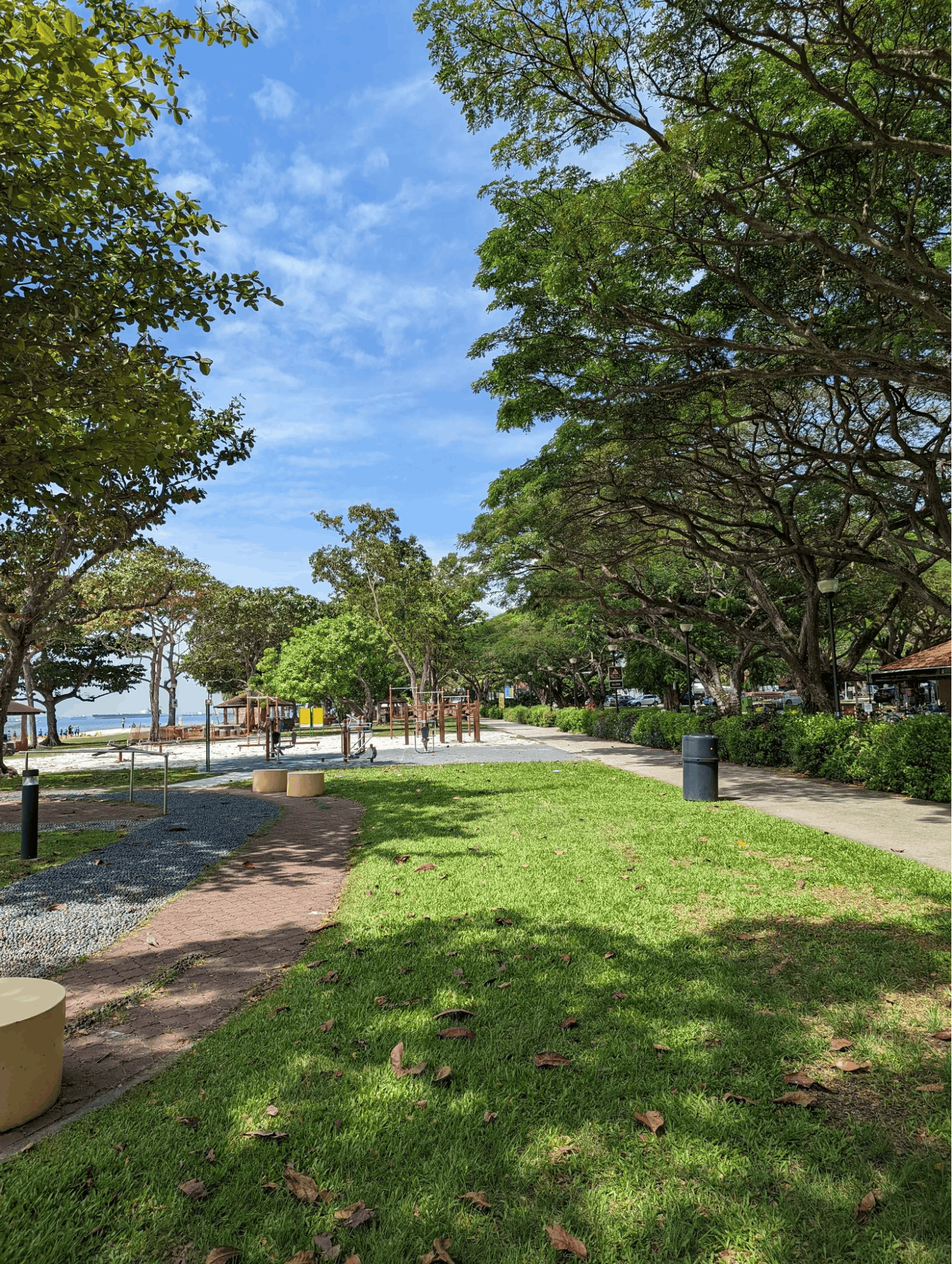
Image credit: Rohan Alcorn via AllTrails
Most of us know East Coast Park as a go-to spot for cycling, picnics, and seaside barbecues. But with its long stretches of paved pathways, it’s also a solid training ground for those hoping to improve their long-distance walking endurance.
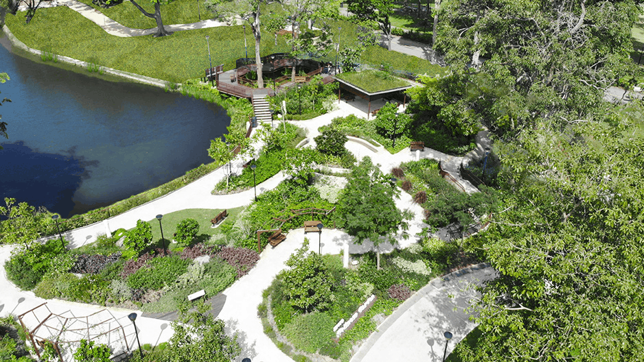
Image credit: NParks
The East Coast Park Zones A-H route covers approximately 12.1km along the coastline of the Singapore Strait. As you walk, you’ll be treated to views of sandy beaches, anchored container ships, and rows of coastal trees.
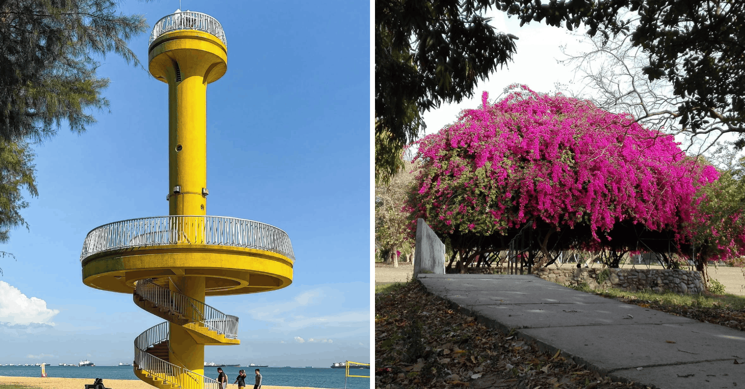
Image adapted from: @aventura.cite via Instagram, Tripadvisor
There are several landmarks worth looking out for along the way. Amber Beacon Tower is one of the park’s most recognisable structures, while Bougainvillaea Garden offers a colourful change of scenery with its flowering plants.
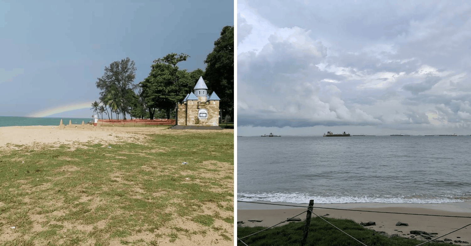
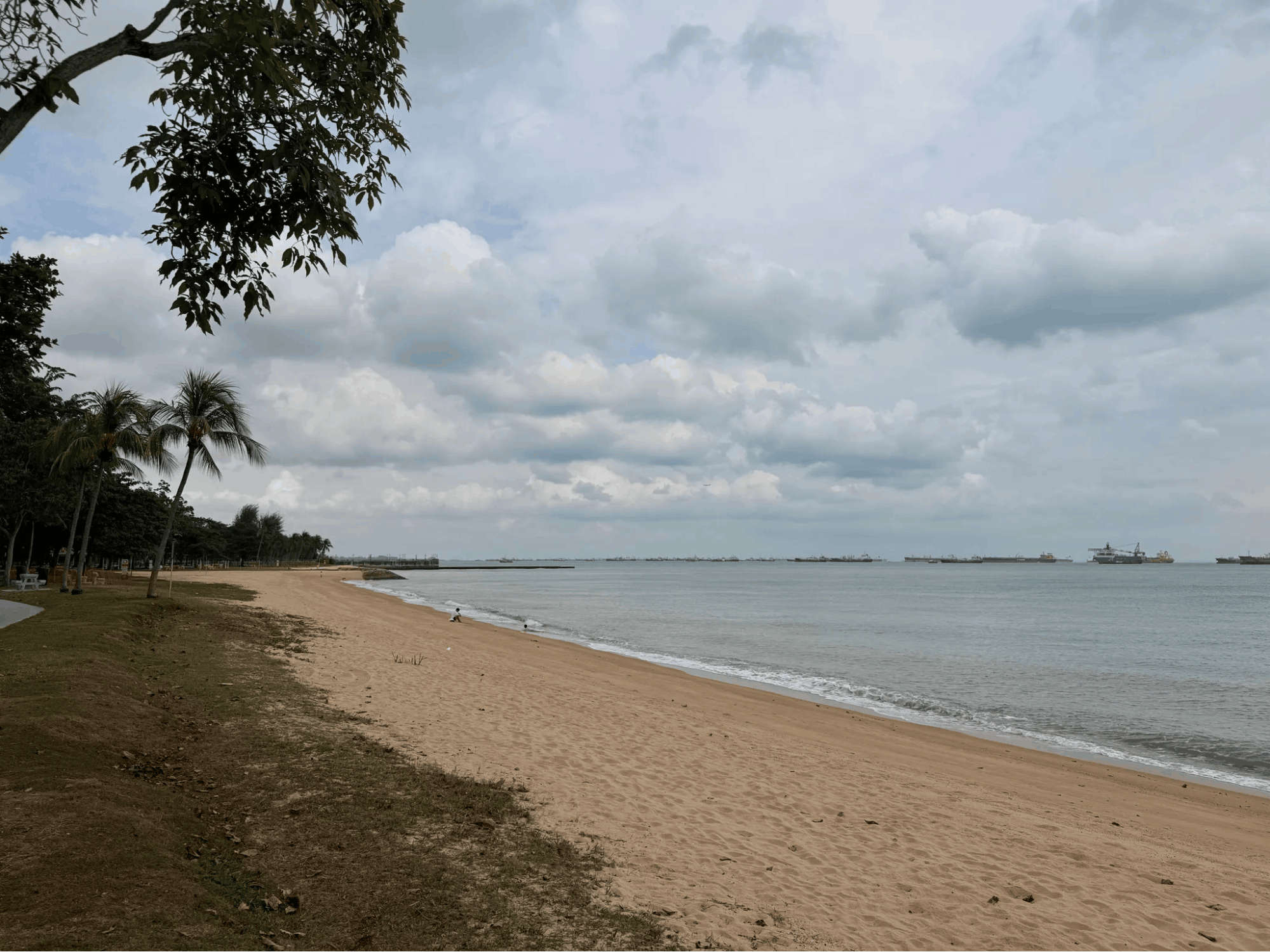
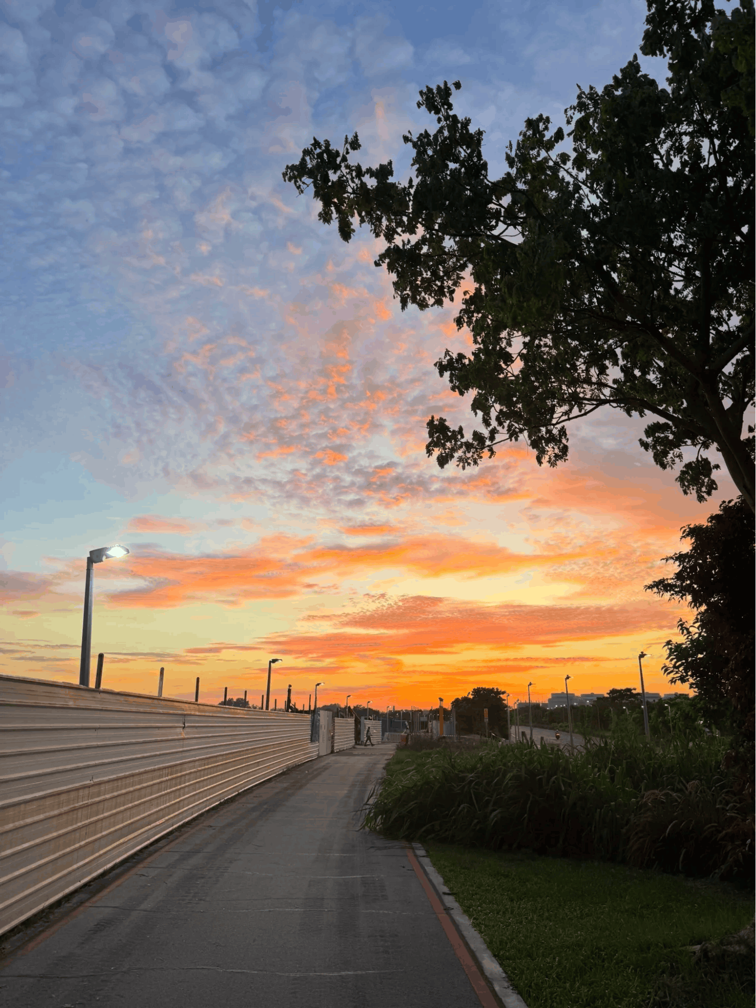
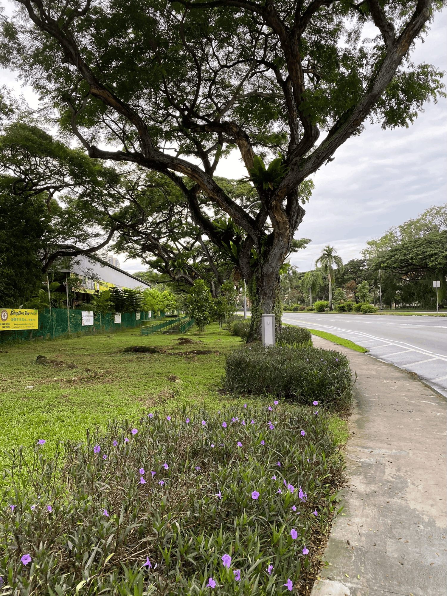
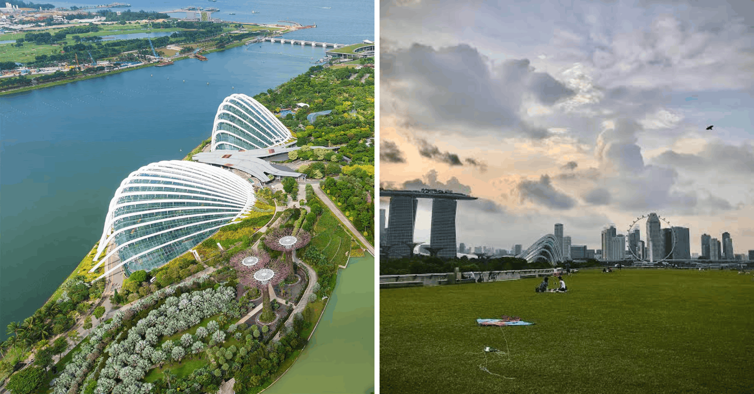
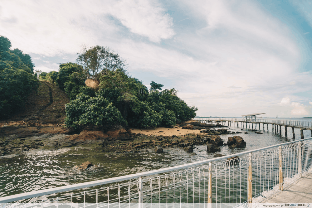

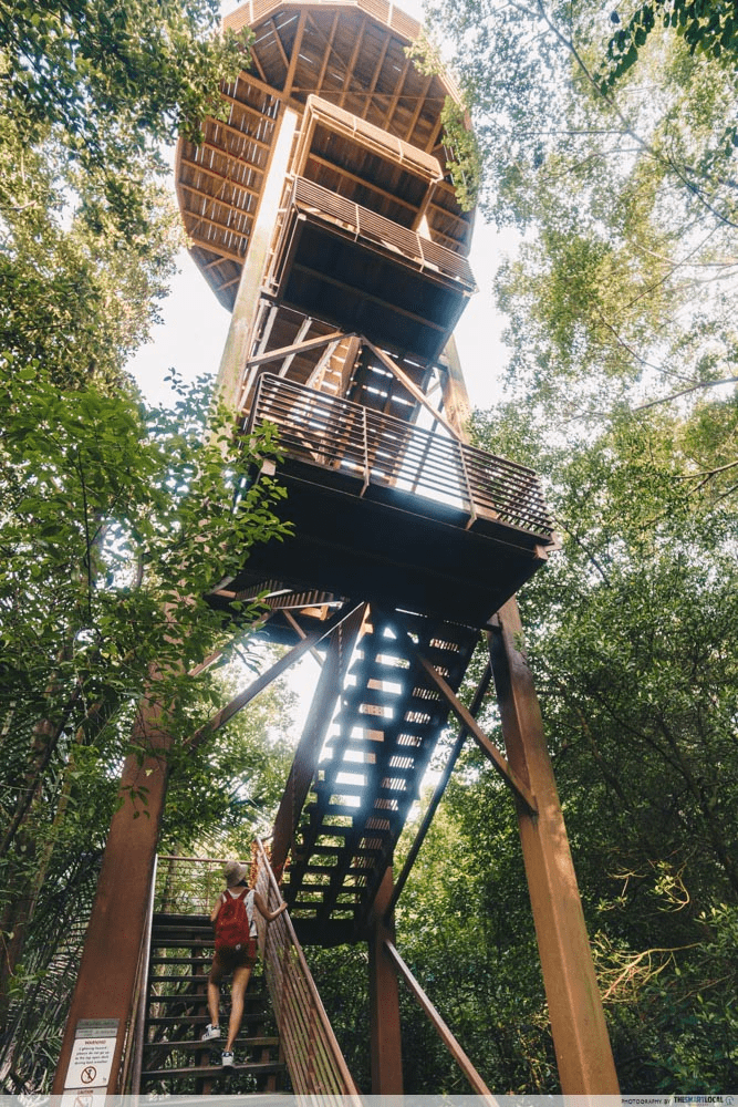
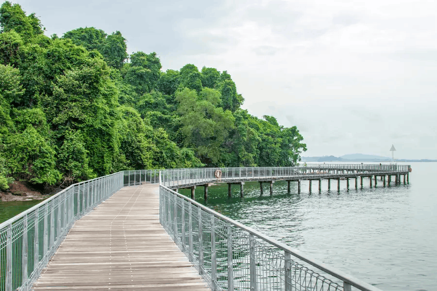
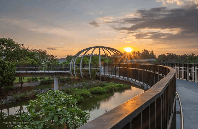
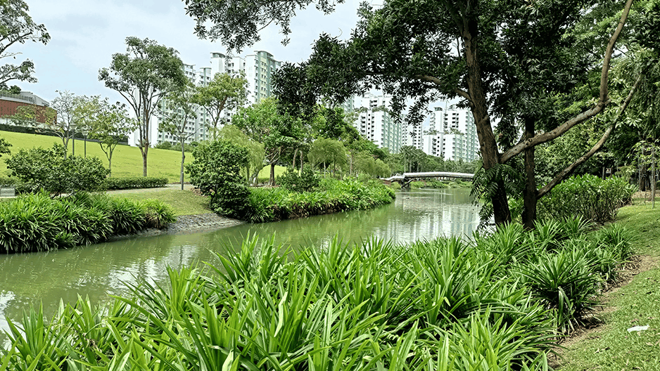
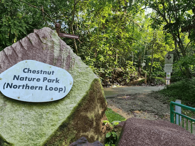


 Image credit: NParks
Read Full Article At Source