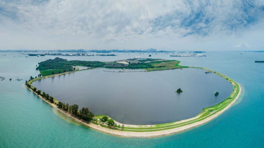
SINGAPORE: Coastal and marine habitats across Singapore will be mapped in a nationwide study to understand the changes they have undergone from 2011 to 2026, according to a government tender launched two days after a proposed western island development plan was announced.
The National Parks Board (NParks) issued the tender on Aug 25, titled “Mapping of the extent of Coastal and Marine Habitats and Coastline Types in Singapore”.
The study covers the entire coastline of mainland Singapore and its offshore islands and reefs, except for marine waters around Pedra Branca, tender documents on government procurement portal GeBIZ showed.
NParks identified Pulau Ubin’s Chek Jawa and Pulau Semakau as potential “ground-truthing” sites, where satellite data is checked against real-world observations.
Read Full Article At Source