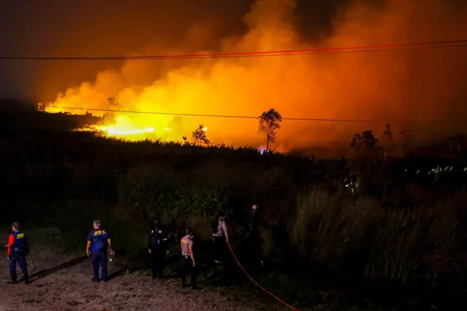
SINGAPORE – Since August, countries in South-east Asia, including Indonesia and Malaysia, have been choking in a blanket of persistent haze caused by raging fires in Indonesia.
Dense smoke haze has been seen over southern and central Sumatra and various parts of Kalimantan on most days since Aug 21.
Forest fires in Indonesia are more easily sparked during the ongoing dry season, which usually stretches from June to October. In 2026, the fire season is further worsened by a “Godzilla” El Nino phenomenon, which makes the weather hotter and drier.
The confluence of these events has conjured flashbacks of the region’s worst air pollution incident in 2015. That year was also an El Nino year, and the fires caused the Pollutant Standards Index (PSI) – a measure of air quality in Singapore – to soar above 300 in September, reaching hazardous levels and forcing schools to shut for a day. Half a million cases of respiratory infection were recorded in Indonesia then.
But weather experts told The Straits Times that a repeat of such a disaster in 2026 seems unlikely, mainly because the onset of El Nino happened around June, later than the April onset in 2015. This means that the effects of 2026’s El Nino will have a shorter overlap with the traditional dry season.
However, the severity of haze pollution experienced here can also be affected by other factors.
The Straits Times speaks to weather and forestry experts on how the haze forecasts for the region could shape up.
What leads to haze over Singapore?
The severity of haze and when it occurs depend on the duration of dry weather, wind conditions and direction relative to the location of fires, the extent of burning, as well as measures taken on the ground to suppress fires, said the National Environment Agency (NEA).
During the current dry south-west monsoon season, winds are expected to blow from the south. Smoke plumes from southern Sumatra and the southern parts of Kalimantan could be transported towards Singapore if the fires intensify, said NEA.
Other weather events, such as typhoons near Singapore, could also contribute to the appearance of haze over the Republic, said Wang Jingyu, a weather expert and assistant professor at the National Institute of Education.
For instance, two typhoons brewing near the northern part of South-east Asia on Aug 24, when the PSI in central Singapore neared the unhealthy range of 101 and above, could have contributed to the hazy conditions over Singapore that day, said Wang.
He explained: “The two typhoons, Narra and Saudel, developed over the north-east of South-east Asia. These systems concentrated moisture around themselves, making South-east Asia even drier on top of the existing dry conditions already worsened by El Nino.”
The typhoons also strengthened winds from the south and promoted the movement of transboundary haze towards Singapore, he added.
The PSI in the central region inched up to 99 before dropping.

A view of the hazy Jurong East skyline on Aug 24.

Read Full Article At Source